

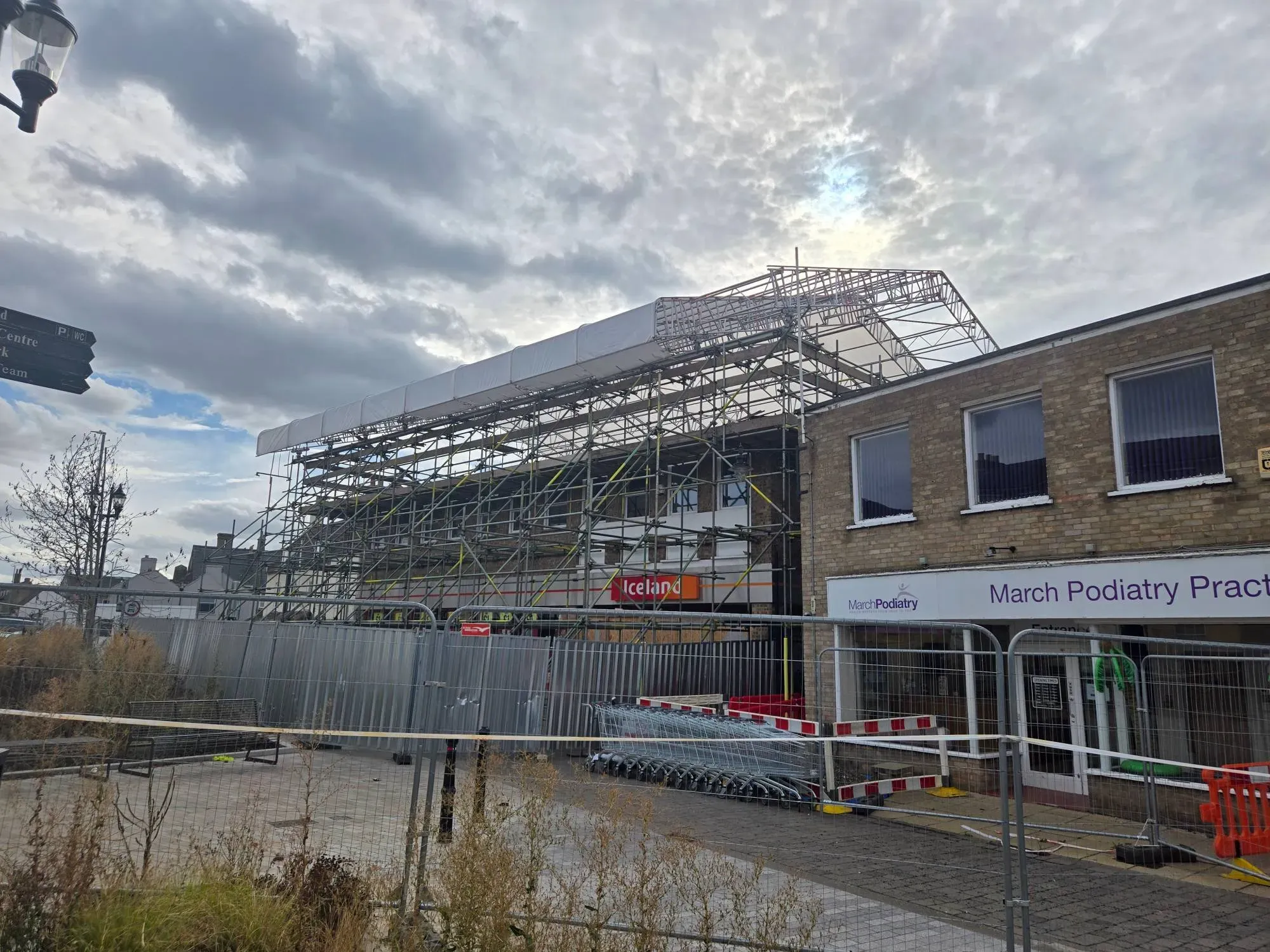
March, Cambridgeshire · Commercial
Temporary roof and access scaffold for Iceland, March
- Scaffold Design
- Surveying
Surveying
Drone surveys that capture large sites, roofs and hard to reach areas quickly and safely.
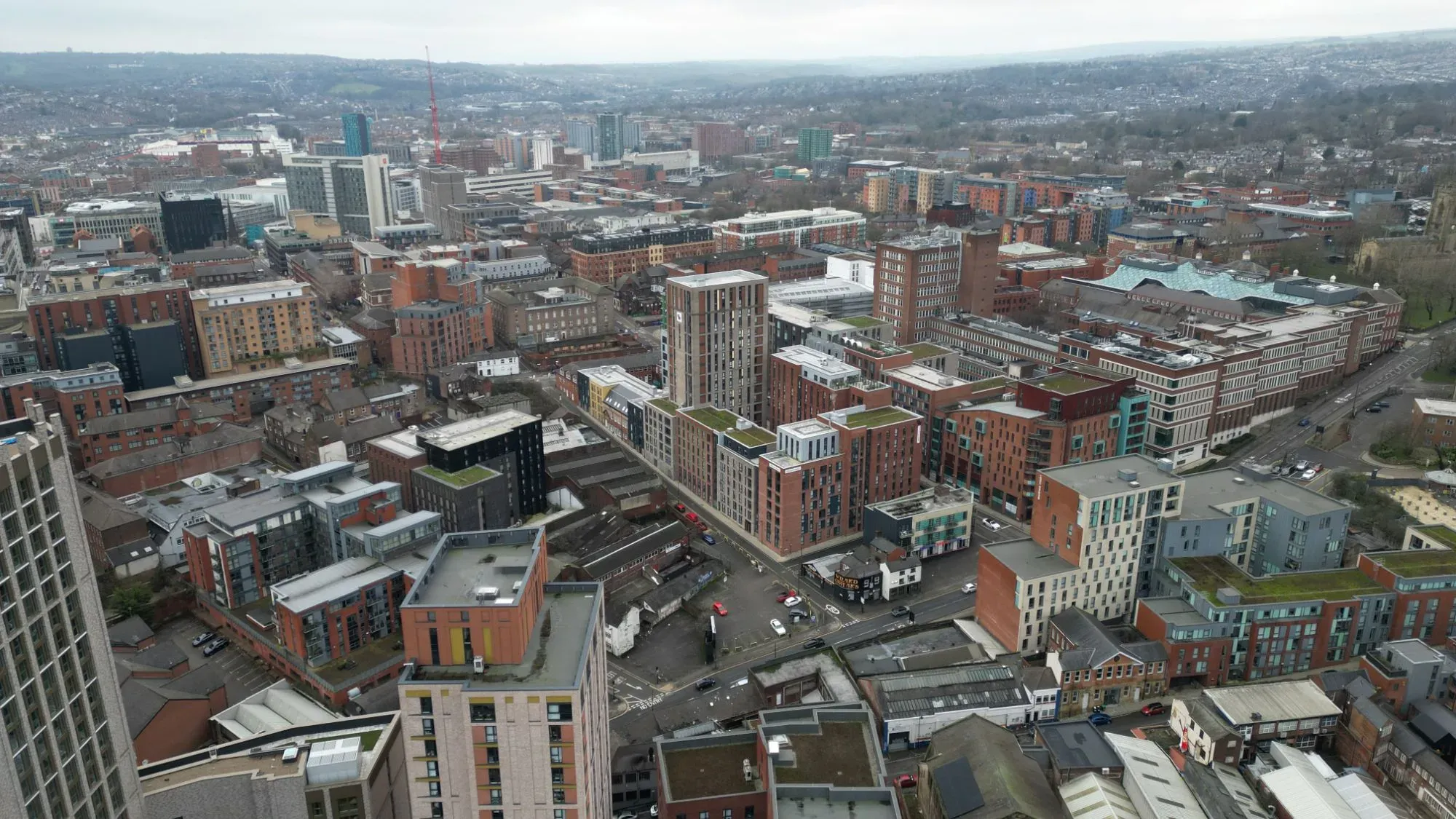
Our drone survey service captures large sites, roofs and hard to reach structures quickly and safely from the air. Using drone photogrammetry, we turn overlapping aerial photographs into point clouds, 3D meshes, elevation models and CAD drawings you can measure and design from.
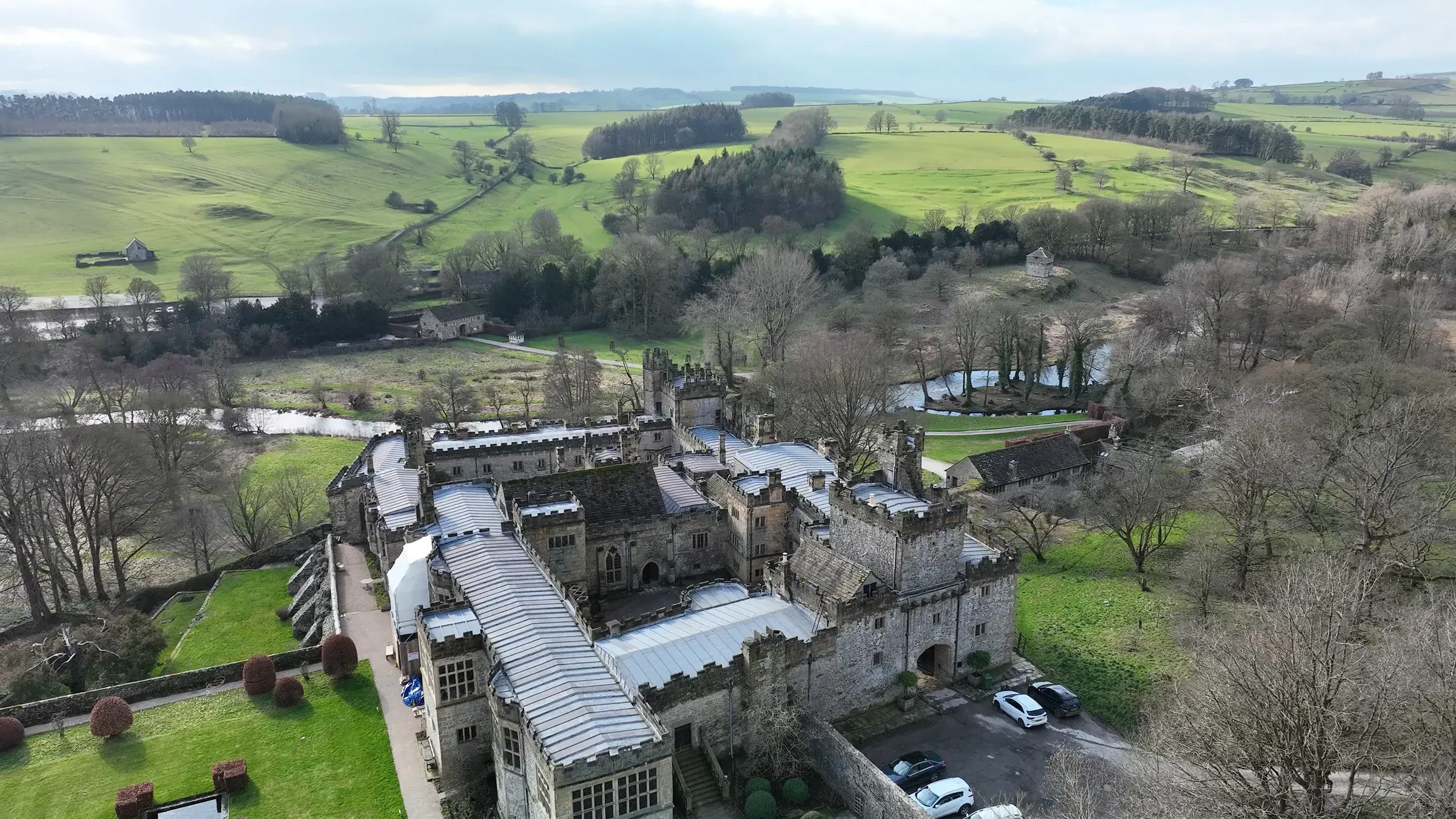
A drone survey is often the fastest way to record a large or awkward site. It’s ideal for roof and chimney surveys, facades, site layouts and progress records, especially where getting people up to height would need scaffolding or a cherry picker. Nobody has to work at height to capture the data.
Architects and developers use our aerial surveys to plan and design. Contractors use them for site records and to plan access, including scaffold and temporary works. Property owners use them to see the condition of roofs and high level areas without the cost of access equipment.
All our drone pilots are CAA approved, holding the GVC and A2 CofC, and have more than 3 years’ experience flying drones. We also hold the insurance needed to operate in line with CAA requirements, including aviation insurance. We fly professional survey drones such as the DJI Matrice 4E, and plan each flight around the site, the airspace and the outputs you need, then process the images into survey data, typically within 5 to 7 days depending on the survey. Because we’re engineers, we can also use the data for our own scaffold design or structural engineering work.
If you need very detailed capture of a building, a structure or an interior, 3D laser scanning may suit you better. Many jobs combine both. We carry out drone surveys across the UK and Ireland from our headquarters in Sheffield and our office in Cockermouth.
Compare
Drone surveying and 3D laser scanning both produce point clouds, but they suit different jobs. Many projects combine both.
| Drone surveying | 3D laser scanning | |
|---|---|---|
| Best for | Large areas, roofs, and hard to reach or unsafe places | Detailed, high accuracy capture of buildings, structures and interiors |
| How it works | Photogrammetry from overlapping aerial photos, using drones such as the DJI Matrice 4E flown by our CAA approved pilots | Ground based Trimble terrestrial laser scanner, such as the Trimble X9 |
| Typical uses | Site surveys, roof and facade inspections, elevation models, progress records | Measured building surveys, scan to CAD, existing structures, interiors |
| Access needed | No scaffold or roof access needed | Scanner set up on the ground or inside the building |
Not sure? Tell us what you need the data for and we'll recommend the right method, or a combination.
Find out about 3D Laser ScanningOur process
Share the site location, the area to cover and how you'll use the data.
We confirm the scope, outputs, price and flight date.
Our CAA approved pilots plan the flight, check airspace and permissions, and capture the survey on site with professional survey drones such as the DJI Matrice 4E.
The images are processed into a point cloud and the other agreed outputs, typically within 5 to 7 days depending on the survey.
You receive the data in the agreed formats, ready to use.
What we need from you
Send what you have. If anything's missing, we'll ask.
Related projects
March, Cambridgeshire · Commercial
FAQs
Photogrammetry takes many overlapping photographs from a drone and uses software to work out the 3D position of points in the images. The result is a drone point cloud, which can be turned into 3D meshes, elevation models and CAD drawings of the site.
Yes. Drone flights must follow Civil Aviation Authority (CAA) rules, including where and how close to people and buildings a drone can fly, and we plan each flight around those rules and the site. All our drone pilots are CAA approved, holding the GVC and A2 CofC, and have more than 3 years' experience flying drones. We also hold the insurance needed to operate in line with CAA requirements, including aviation insurance.
We use professional survey drones such as the DJI Matrice 4E, chosen for mapping and survey work rather than general photography.
Often, yes. A drone can capture detailed images and survey data of roofs, chimneys and facades without anyone working at height, which can save the cost and time of putting up access.
See the comparison on this page, or read our article on drone survey or 3D laser scanning.
Further reading
Surveying
Terrestrial 3D laser scanning for measured building surveys, scan to CAD and high accuracy point clouds.
Send us your drawings and details. We reply to every enquiry within 24 hours.