

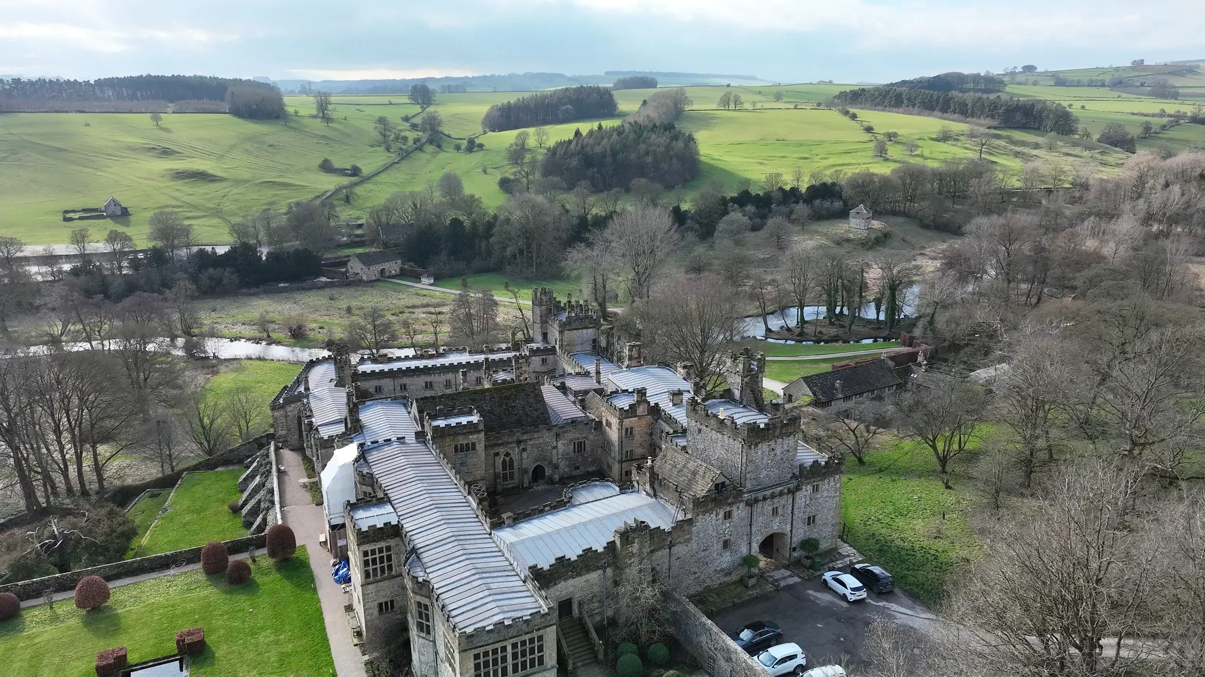
Drone Surveying
Aerial drone surveys using photogrammetry to produce point clouds, 3D meshes, elevation models and CAD drawings.
Services
Accurate point cloud survey data for design, planning and site records.

Good design starts with accurate information. Our point cloud survey service captures sites, buildings and structures in 3D, giving architects, developers, contractors and engineers reliable measured survey data to design from.
We offer two complementary survey methods. Drone surveying uses photogrammetry to capture large areas, roofs and hard to reach places quickly. 3D laser scanning uses a Trimble terrestrial laser scanner to capture buildings, structures and interiors in high detail. Many projects benefit from both, combined into a single dataset.
We use professional survey equipment, such as the DJI Matrice 4E drone and Trimble laser scanners like the Trimble X9.
Because we’re engineers as well as surveyors, we understand what information a design needs. We can survey a site and then use the data for our own scaffold or structural design, or hand it over for your team to use.
Choose drone surveying or 3D laser scanning, or talk to us about which suits your project. We provide point cloud surveys from Sheffield to sites across the UK and Ireland.
Surveying services
Aerial drone surveys using photogrammetry to produce point clouds, 3D meshes, elevation models and CAD drawings.
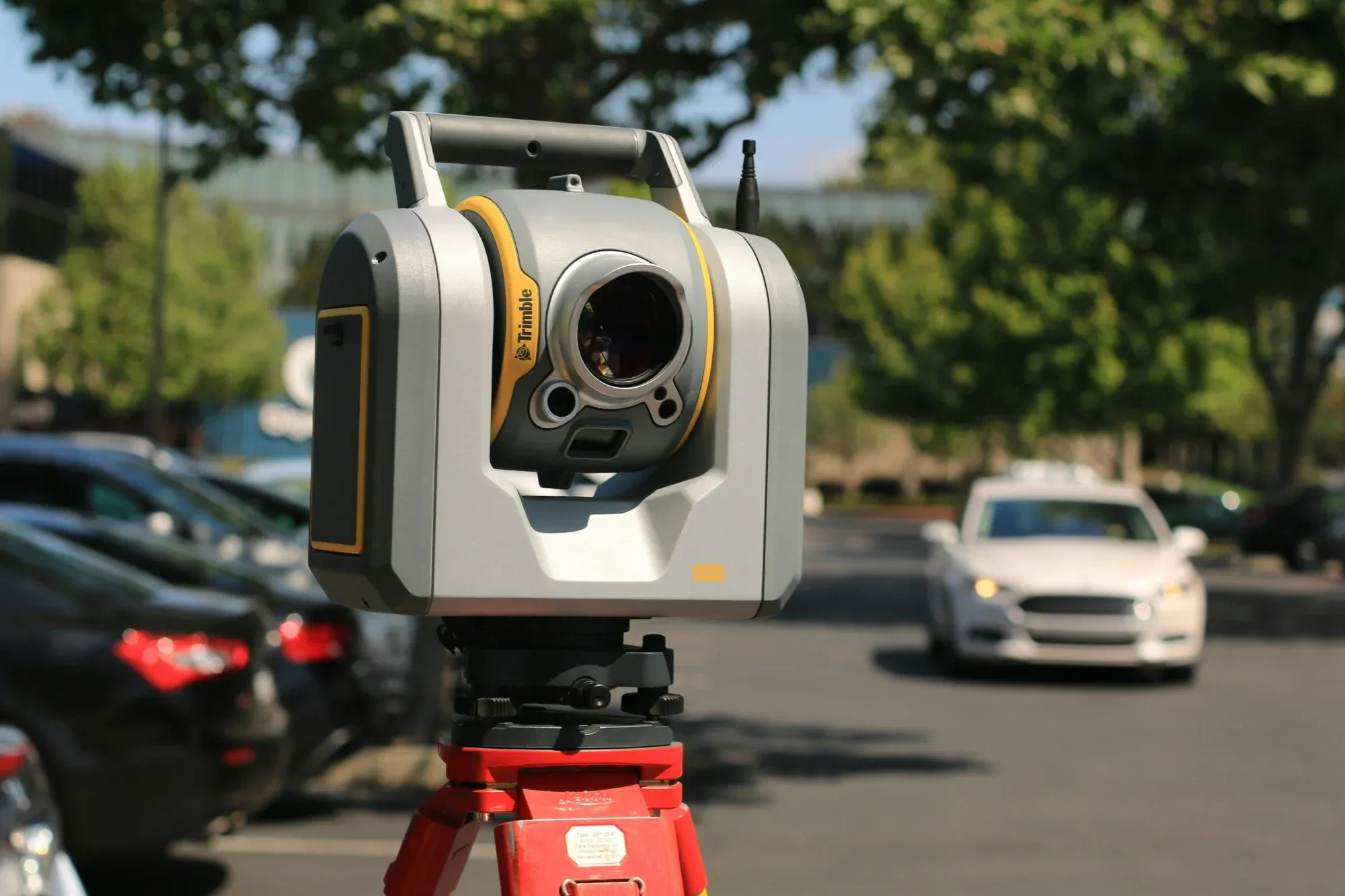
Terrestrial 3D laser scanning for measured building surveys, scan to CAD and high accuracy point clouds.
Typical applications
Related projects
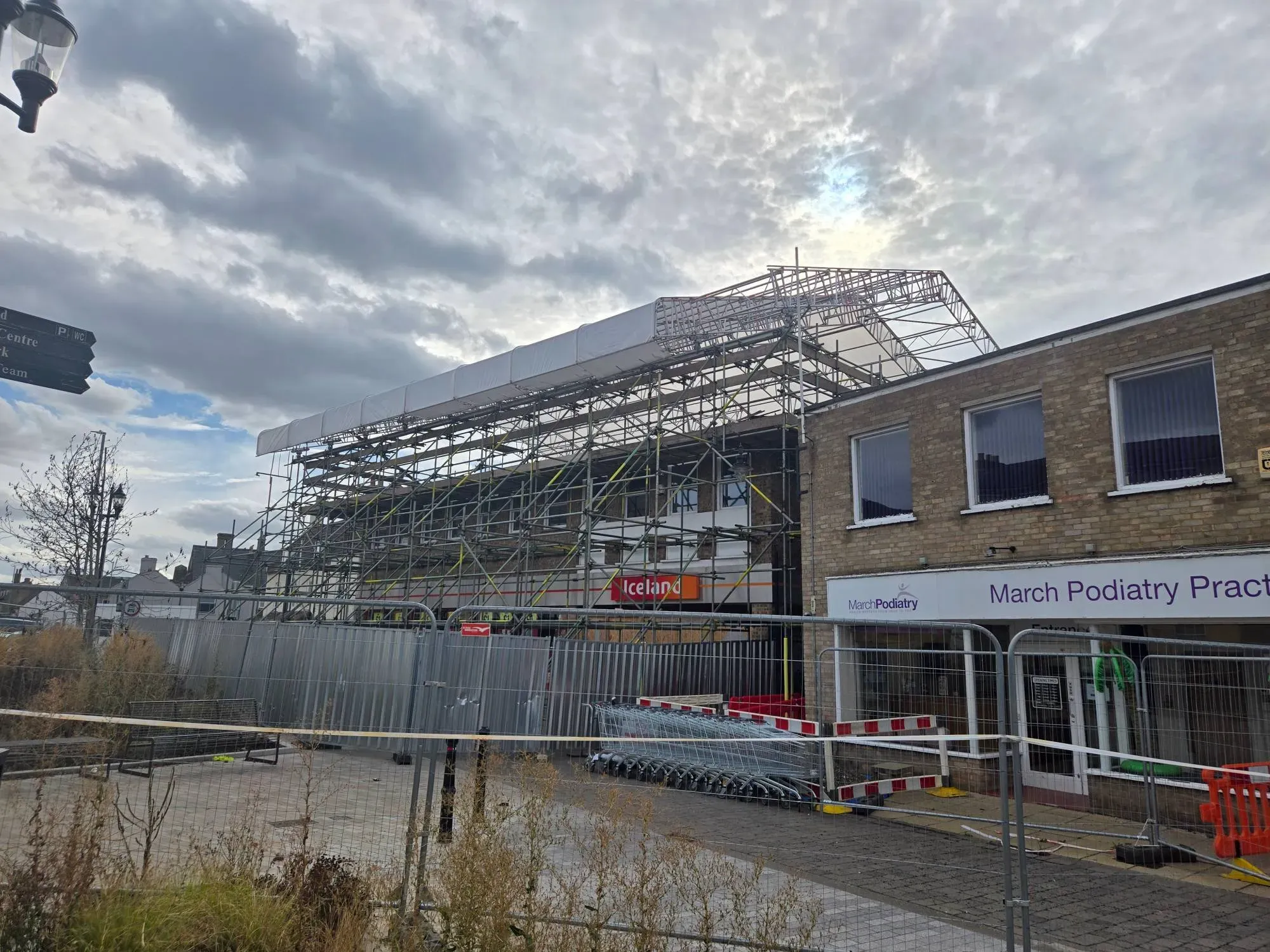
March, Cambridgeshire · Commercial
FAQs
A point cloud is a 3D record of a site or building made up of millions of measured points. It can be viewed, measured and used as the basis for drawings and models, so designers work from what's actually there rather than from old drawings or tape measurements.
Drone surveying suits large areas, roofs and hard to reach places. 3D laser scanning suits detailed, high accuracy capture of buildings, structures and interiors. Many jobs use both. Our comparison article explains the difference.
Standard outputs from our drone surveys are point clouds, 3D meshes, elevation models and CAD drawings. From our 3D laser scans we supply the registered point cloud, and can provide 2D CAD drawings, 3D models and meshes. We'll agree the outputs for your survey when we quote.
Yes. Because we design scaffolds, temporary works and structures as well as survey, we can capture exactly the information a design needs, and use it ourselves if you'd like us to carry out the design too.
Send us your drawings and details. We reply to every enquiry within 24 hours.