
Drone survey or 3D laser scanning: which point cloud survey do you need?
By Ben Wells · · 3 min read
If you need accurate survey information for a building or site, you’ll probably hear about two methods: drone surveying and 3D laser scanning. Both produce a point cloud, a 3D record made up of millions of measured points. But they capture data in different ways, and each is better suited to different jobs.
What is a drone survey?
A drone survey uses a drone to take many overlapping photographs of a site or structure from the air. Software then uses a technique called photogrammetry to work out the 3D position of points in those photos and build a point cloud. The same data can be turned into 3D meshes, elevation models and CAD drawings.
Drone surveys are good for:
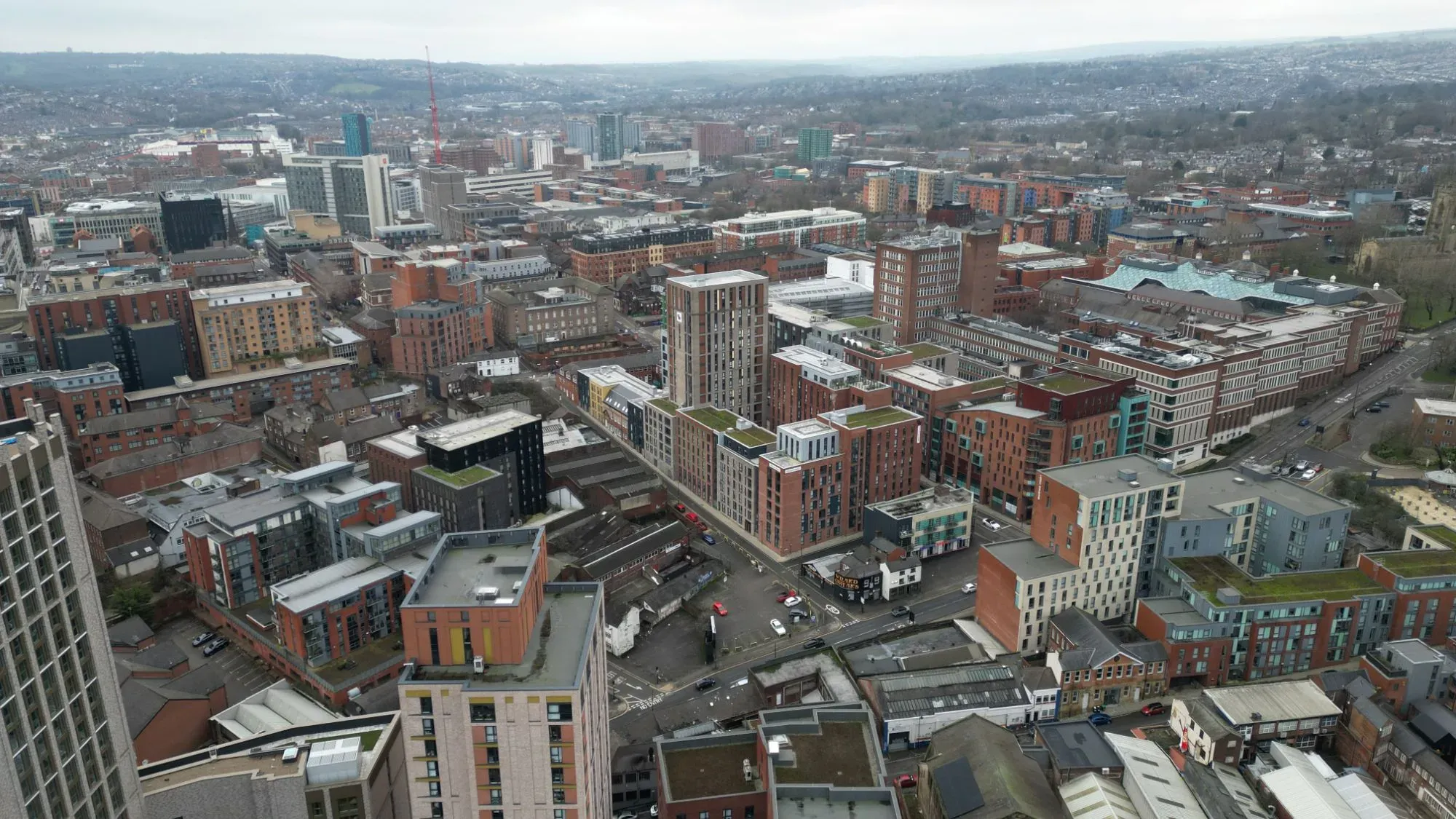
- Large sites and open areas
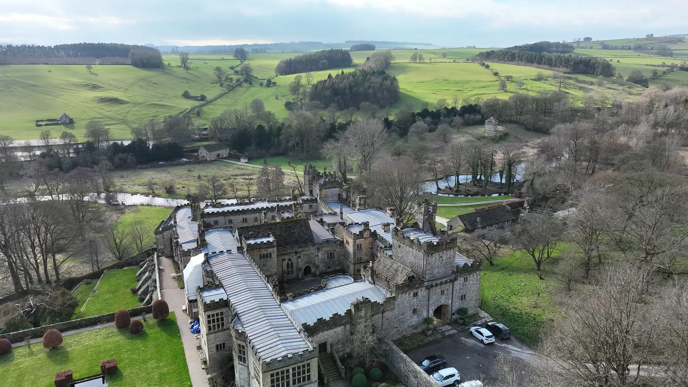
- Roofs, chimneys and high level facades
- Places that are hard or unsafe to reach on foot
- Recording site progress over time
- Getting a quick overview of a site for planning and design
Because the drone does the work at height, nobody needs to go up on a roof or scaffold to capture the information.
What is 3D laser scanning?
3D laser scanning, also called terrestrial laser scanning, uses a scanner on a tripod. The scanner measures millions of points on surrounding surfaces using a laser. It’s moved to several positions around and inside a building, and the scans are joined together into one detailed point cloud. We use Trimble terrestrial laser scanners such as the Trimble X9.
3D laser scanning is good for:
- Detailed measured building surveys
- Interiors, plant rooms and complex spaces
- Existing structures that need to be altered or modelled
- Heritage buildings where existing drawings are missing or unreliable
- Producing scan to CAD drawings and models
Which one do you need?
A simple way to decide:
| If you need… | Choose |
|---|---|
| A large area, roofs or hard to reach places | Drone survey |
| Detailed, high accuracy capture of a building, structure or interior | 3D laser scanning |
| Both the outside overview and the inside detail | Both, combined |
Why many jobs use both
Drone surveying and 3D laser scanning work well together. On a typical building survey, the scanner captures facades, interiors and structural detail from the ground, while the drone captures the roof and the surrounding site. The two datasets can be combined into one point cloud, giving a complete picture with no gaps.
What you’ll receive
Standard outputs from our drone surveys are point clouds, 3D meshes, elevation models and CAD drawings. All our drone pilots are CAA approved and have more than 3 years’ experience flying drones. When you get in touch, tell us what you need the survey for and we’ll recommend the right method and agree the outputs before we start. From a 3D laser scan we supply the registered point cloud, and can provide 2D CAD drawings, 3D models and meshes. Processing typically takes 5 to 7 days, depending on the survey.
Talk to us about your survey
Because we’re engineers as well as surveyors, we understand what a design needs from survey data. Find out more about our drone surveying and 3D laser scanning services, or send us your project details. We reply to every enquiry within 24 hours.